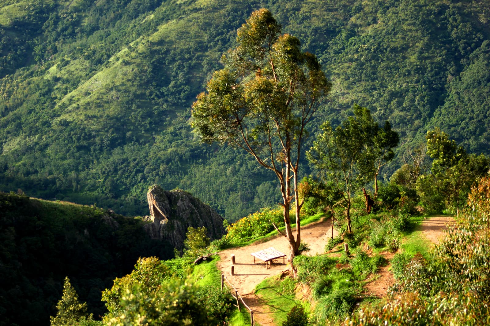
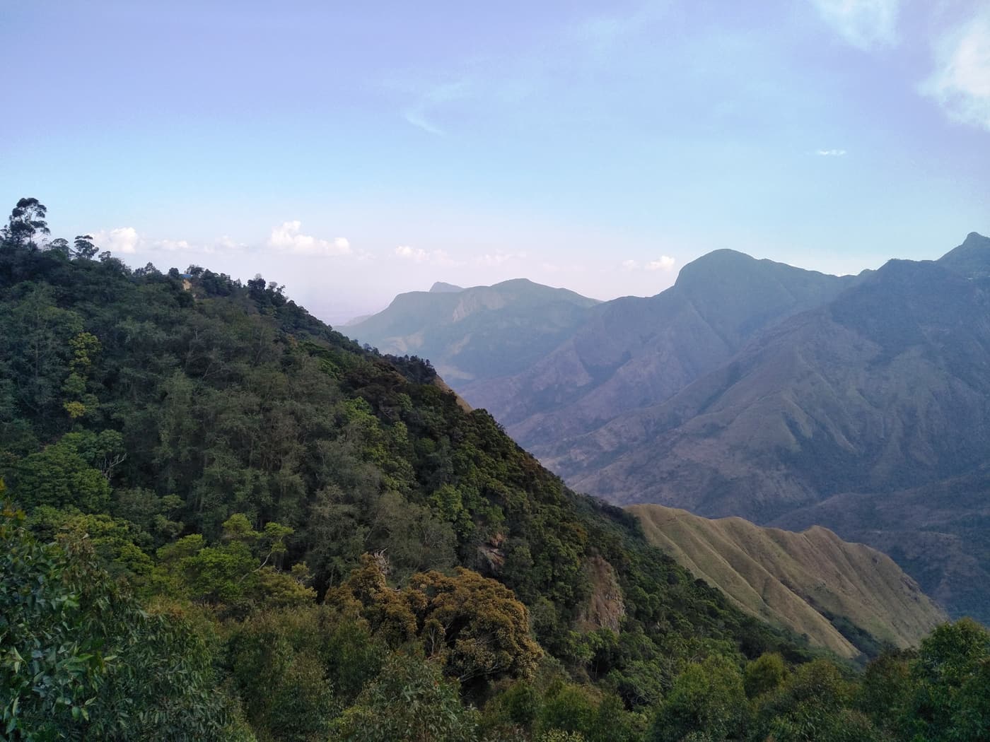
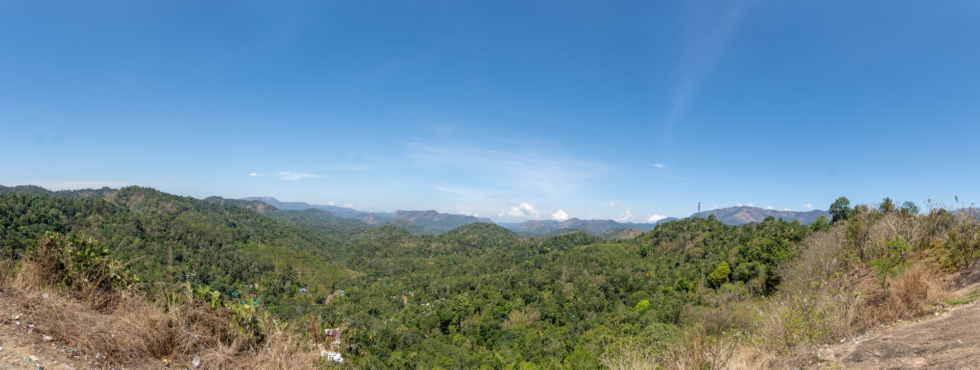
Top Station, about 32 km east of Munnar at roughly 1,700 m, is where the tea plateau ends. A short path leads out along a spur to a viewpoint, and the ground simply falls away — ridge after forested ridge dropping to the hot plains of Theni district in Tamil Nadu. Technically the viewpoint is just across the state border.
The name is a piece of plantation history. In the early 1900s tea from the Munnar estates was carried here by a light railway and then lowered by an aerial ropeway to the valley below for the journey to the coast; this was the top station of the ropeway. The railway was destroyed in the great flood of 1924 and never rebuilt.
Top things to do at Top Station
Walk out to the viewpoint
From the roadside stalls it is a 10–15 minute walk down steps and along the ridge to the railed lookout. The return is uphill. On a clear morning you can pick out the plains far below and, to the south, the higher peaks towards Kolukkumalai.
Watch the cloud
Mist is half the experience here. Cloud pours up from the Tamil Nadu side and can close the view in minutes — or open it just as quickly. If you arrive in fog, wait with a cup of tea before giving up.
Make a day of the road
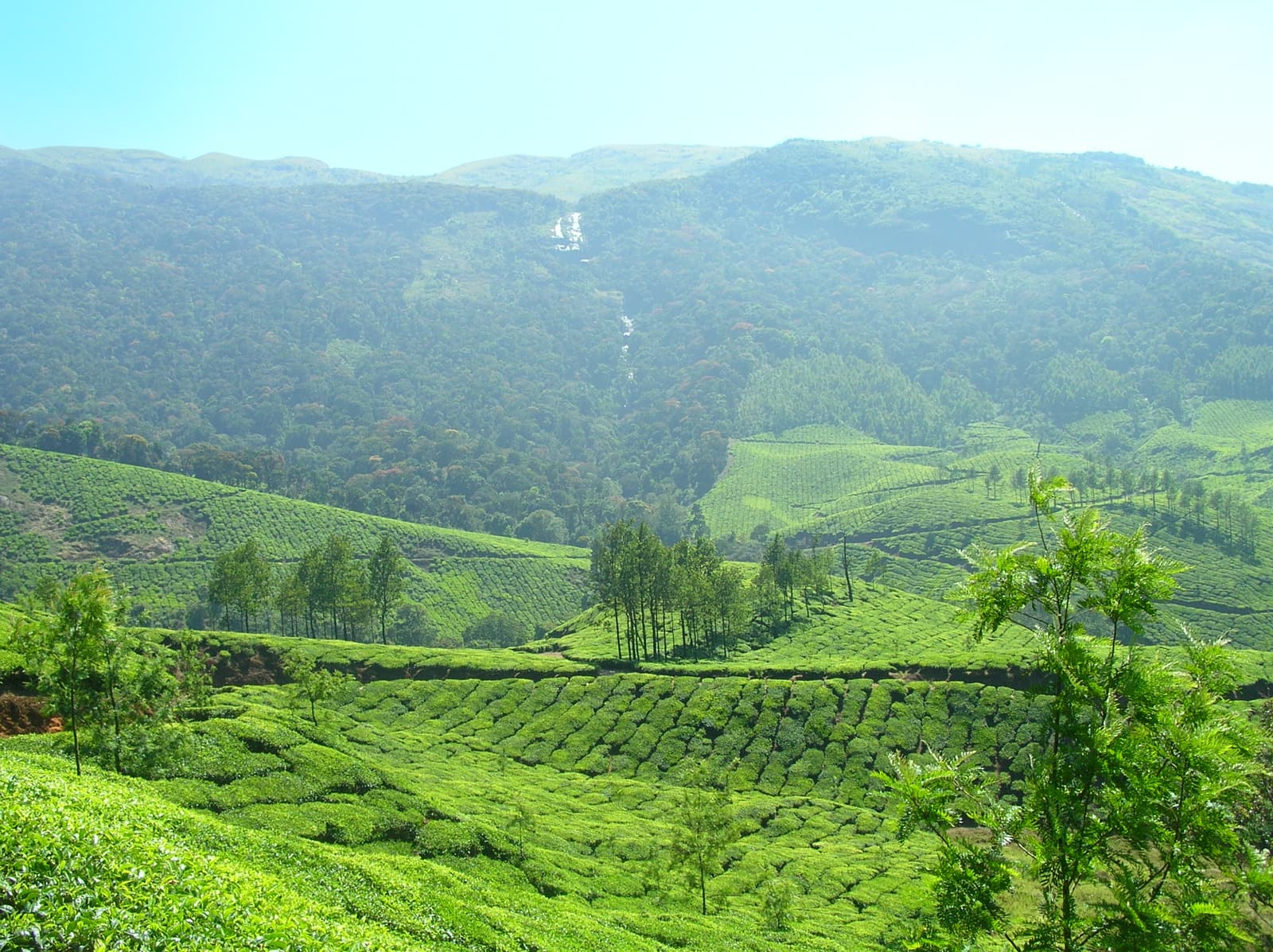
Top Station is the natural end point of the Mattupetty and Kundala drive. The last stretch runs through some of the highest tea estates in the district and past vegetable terraces around Yellapatty.
How to get to Top Station
- From Munnar: about 32 km, 1–1.5 hours each way by car or jeep via Mattupetty and Kundala.
- By bus: a few daily buses run from Munnar towards Top Station and Kovilur, but timings make a return day trip awkward.
- With a tour: the three-day Munnar tour from Madurai lists Top Station among its stops.
Insider tips
- Leave Munnar by 07:00. The view is usually clearest in the first hours of the day, especially from November to February.
- From June to September you will very likely see only cloud. It is still a beautiful drive.
- A small entry or path fee may be collected locally; carry cash.
- It is cold and windy on the spur — bring a jacket even in summer.
Tours that include Top Station
These guided trips cover Top Station or combine easily with a visit:
 Multi-day private tour from US$405
From Madurai: 3-Day Private Munnar Hill Country Tour
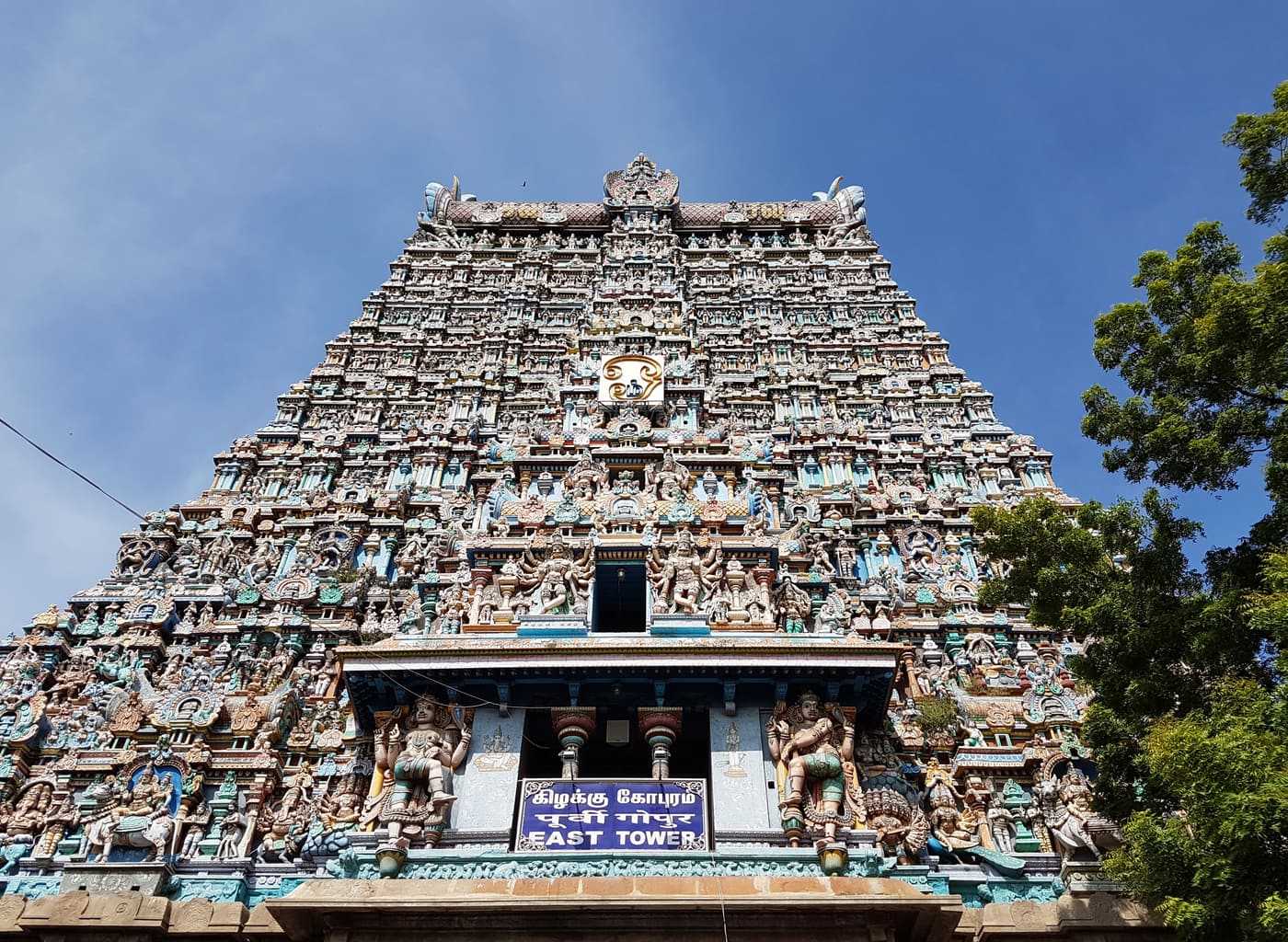
Coming from Tamil Nadu? This private three-day trip drives up from Madurai over the ghats to Munnar for a tea plantation, the tea museum and the views from Top Station, then brings you back.
- Tea plantation visit and the Tata Tea Museum
- Panoramic Western Ghats views from Top Station
- Private transport from Madurai
Guided hike from US$23 Munnar Mountain Hiking (Full Day)
The serious option: a hard seven-to-eight-hour day in the hills around Munnar with a guide. The operator describes it as a tough trek, so come fit, with proper shoes and rain protection.
- A demanding 7–8 hour trek through the Munnar mountains
- Tea estates, forest and open hill country
- Meal included